


Unmanned Aerial Vehicles (UAVs), commonly known as drones, have revolutionized the way we collect data and conduct surveys in various industries. With their ability to capture high-resolution images and videos from above, drones offer a cost-effective and efficient solution for gathering valuable information.
Whether you’re in construction, agriculture, environmental conservation, or any other field that requires detailed mapping and analysis, using a drone for surveying can provide you with accurate and up-to-date data. In this article, we’ll explore the benefits of surveying with a drone and provide tips on how to maximize the use of this technology for your projects.

Benefits of Surveying with a Drone
Surveying with a drone offers numerous advantages over traditional methods. Here are some key benefits:
1. Efficiency
Drones can cover large areas quickly and efficiently, saving time and resources compared to manual surveying methods.
2. Accuracy
Drones equipped with high-resolution cameras and sensors can capture detailed data with precision, leading to more accurate survey results.
Enhancing Accuracy and Efficiency
Using drones for surveying offers a significant advantage in terms of accuracy and efficiency compared to traditional methods. By utilizing drones equipped with high-resolution cameras and GPS technology, surveyors can capture detailed and precise data quickly and easily.
Improved Data Collection
Drones allow for the collection of data from difficult-to-reach or hazardous areas, eliminating the need for manual measurements or costly equipment. This improves the accuracy of the survey data and reduces the risk to surveyors.
Time and Cost Savings
With drones, surveying tasks can be completed in a fraction of the time it would take using traditional methods, leading to cost savings for both the surveyor and the client. The efficiency of drone surveys also allows for more frequent monitoring and updates, ensuring that data is always up-to-date.
Cost-Effective Data Collection
Drone surveys offer a cost-effective solution for data collection compared to traditional methods. Drones can cover large areas quickly and efficiently, reducing the need for manpower and resources. This results in significant cost savings for survey projects.
Reduced Equipment Costs
Using a drone for surveying eliminates the need for expensive equipment such as helicopters or airplanes. Drones are more affordable to purchase and maintain, making them a cost-effective option for data collection.
Efficient Data Processing
Drone surveys produce high-resolution aerial images and 3D models that can be processed quickly using specialized software. This efficiency in data processing saves time and reduces labor costs associated with traditional survey methods.
Key Factors for Successful Drone Surveys
Drone surveys have become increasingly popular in various industries due to their efficiency and accuracy. To ensure a successful drone survey, it is essential to consider the following key factors:
1. Proper Planning
Before conducting a drone survey, it is crucial to plan the mission carefully. This includes defining the survey area, identifying the objectives, and determining the flight path of the drone. Proper planning helps in maximizing the efficiency of the survey and obtaining accurate results.
2. Equipment and Software
Using the right equipment and software is essential for a successful drone survey. Ensure that the drone is equipped with high-quality cameras and sensors that can capture the necessary data accurately. Additionally, using reliable surveying software can help in processing the collected data efficiently.
| Key Factors | Details |
| Proper Planning | Define survey area, objectives, and flight path |
| Equipment and Software | Use high-quality cameras and reliable surveying software |
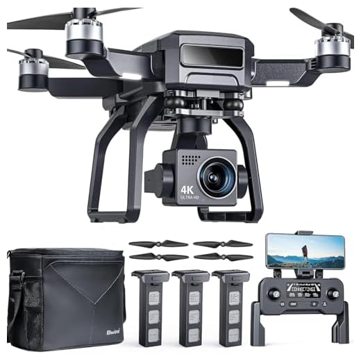
Choosing the Right Drone
When selecting a drone for surveying purposes, there are several key factors to consider:
1. Payload Capacity: Ensure the drone can carry the necessary surveying equipment, such as cameras and sensors, without compromising its flight stability.
2. Flight Time: Look for a drone with a long flight time to cover larger areas without frequent battery changes.
3. GPS Accuracy: Accuracy is crucial for surveying tasks, so choose a drone with reliable GPS technology for precise positioning.
4. Durability: Opt for a robust drone that can withstand challenging weather conditions and rough terrain.
5. Camera Quality: A high-quality camera is essential for capturing detailed survey data, so choose a drone with a camera that meets your resolution and image quality requirements.
6. Remote Control Range: Consider the range of the drone’s remote control to ensure you can survey areas that are far from the operator.
By carefully evaluating these factors, you can select the right drone for your surveying needs and achieve accurate and efficient results.
Understanding Regulations
Before conducting any survey with a drone, it is crucial to understand the regulations governing drone operations in your area. Different countries have different rules and regulations regarding drone flights, so it is important to familiarize yourself with these regulations to ensure compliance.
Some common regulations that you may need to consider include obtaining the necessary permits or licenses for drone operations, adhering to specific flight restrictions, maintaining a safe distance from people and property, and respecting privacy laws. Failure to comply with these regulations can result in fines or legal consequences, so it is essential to take the time to understand and follow the rules.
Applications of Drone Surveying
Drone surveying offers a wide range of applications across various industries due to its efficiency, cost-effectiveness, and accuracy. Some of the key applications include:
Agriculture
Drones are used in agriculture for crop monitoring, precision agriculture, and pest detection. They can provide valuable insights into crop health, irrigation needs, and overall farm management.

Construction
In the construction industry, drones are utilized for site surveying, progress monitoring, and safety inspections. They can capture high-resolution images and create 3D models of construction sites for better project management.
| Industry | Application |
|---|---|
| Real Estate | Property inspections, aerial photography |
| Environmental Monitoring | Wildlife tracking, pollution detection |
| Infrastructure | Bridge inspections, road planning |
Construction Site Monitoring
Using drones for construction site monitoring is a game-changer in the industry. Drones can provide real-time aerial footage of the construction site, allowing project managers to track progress, identify potential issues, and make informed decisions.
With a drone, you can easily survey large areas of the construction site, capture high-resolution images and videos, and create 3D models for better visualization. This data can be used to monitor construction progress, identify safety hazards, and improve project efficiency.
Benefits of using drones for construction site monitoring:
- Improved project management
- Cost-effective surveying
- Enhanced safety monitoring
- Efficient progress tracking
FAQ
What are the benefits of using a drone for surveying?
Using a drone for surveying offers several advantages, including increased efficiency, lower costs, improved safety, and the ability to access hard-to-reach or hazardous areas. Drones can capture high-resolution aerial images and data, providing a comprehensive view of the surveyed area.
What types of surveys can be conducted using drones?
Drones can be used for a variety of surveys, including topographic surveys, construction site surveys, agricultural surveys, environmental surveys, and infrastructure inspections. They are versatile tools that can be adapted to different surveying needs.
What equipment is needed to conduct a survey with a drone?
To conduct a survey with a drone, you will need a drone equipped with a high-quality camera, GPS technology for accurate positioning, and surveying software for data processing and analysis. Additionally, you may need a drone pilot with the necessary skills and certifications to operate the drone legally.
What are some best practices for conducting a successful survey with a drone?
Some best practices for conducting a successful survey with a drone include planning the mission carefully, ensuring that the drone is properly calibrated and maintained, following regulations and safety guidelines, and processing the data accurately to generate meaningful results. It is also important to consider weather conditions and potential obstacles that may affect the survey.


